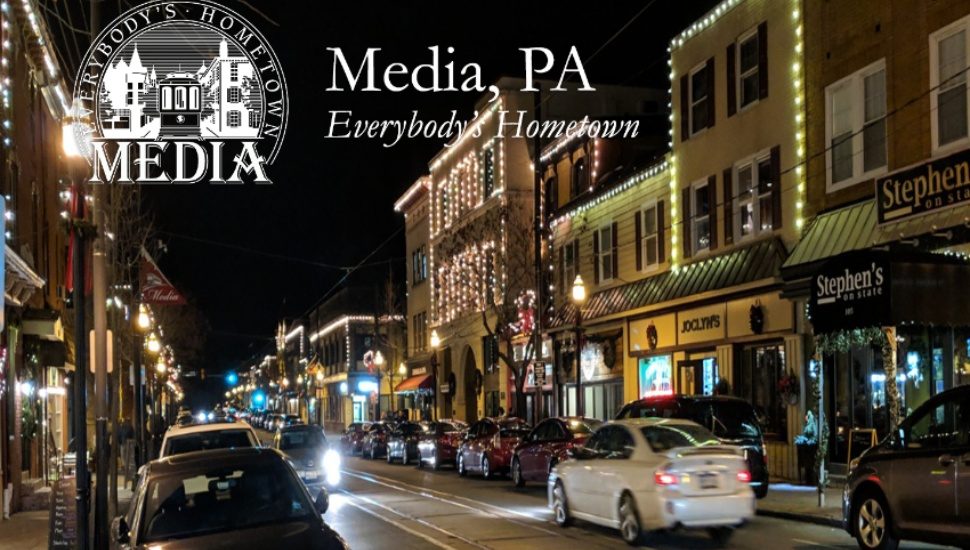
Interested in Media Borough’s history and looking for an interactive tour? There are floating maps for that, writes Jason Nark for The Philadelphia Inquirer.
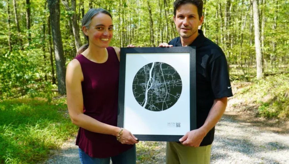
Kevin and Megan Langdon have combined digital and printed maps of small Pennsylvania towns with their business, Floating Maps.
The printed maps can be used as wall decorations but they also come with a QR code that opens an app giving you an interactive tour of that town’s history.
The couple just added Media Borough to their list, which also includes Conshohocken, Lewisburg, Danville, State College, Lake Augusta and more.
“This Floating Map of Media will not only provide a beautiful piece of art for your home but will also give you a picture into its history,” according to the Floating Maps website.
The free app with the Media print provides nine different historical maps of Media from 1937 to 2019.
“This all started because we wanted to build a rug that had contours of our property on it,” Megan Langdon said.
The maps come from government aerial photos of forest growth over the last century, but the photos also show town growth.
Kevin, a tech entrepreneur, digitized the aerial photos to create the interactive maps.
Read more at The Philadelphia Inquirer about these small town maps.