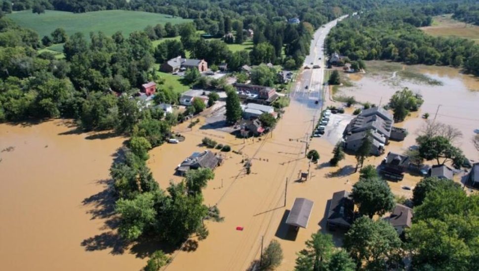
Eight-foot flood waters at the Brandywine Creek in Chadds Ford from Hurricane Ida in 2021 dramatically demonstrate that parts of Delaware County have a water problem, writes Anthony R. Wood and Stephen Stirlling for The Philadelphia Inquirer.
The Inquirer has mapped the region’s flood-prone areas based on U.S. Geological Survey data. Brandywine Creek is one of the elite flood areas.
Sixty-one major and moderate floods have hit Chadds Ford and three other areas on the Brandywine since 2005.
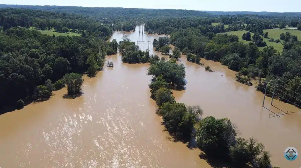
Five tidal gages along the Delaware River from Newbold Island to Marcus Hook have also shown more than 90 significant floods since 2005.
Various studies have shown increases in extreme precipitation events from planet warming. More flooding along the Brandywine, the Delaware River, and the rest of the region’s waterways is a certainty.
The problem is magnified by hard-topping vegetation that could absorb the rain. Along the Brandywine watershed, impervious surfaces increased by 15 percent along the Route 30 corridor from 2001 to 2020.
Municipalities want tax-generating development, but you also get more value if you build next to a greenway, said Gerald Kauffman, director of the University of Delaware’s Water Resources Center.
“It’s the eternal debate,” he said.
Read the details regarding the Inquirer’s flood analysis for the region in The Philadelphia Inquirer.
Editor’s Note: This post first appeared on DELCO Today in January 2026.